Blog post from: Albuquerque ultralight
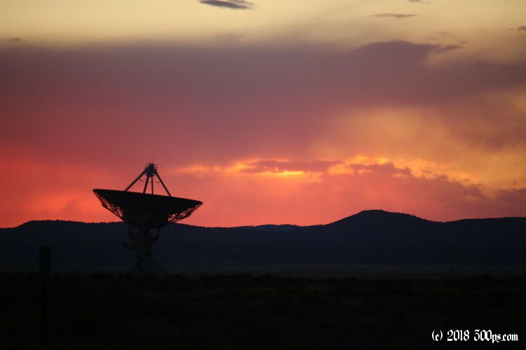
Show Low to Magdalena: Long day in the saddle
This may be the farthest I've ever ridden in a day. continue reading...
Blog post from: Cactus Cruise
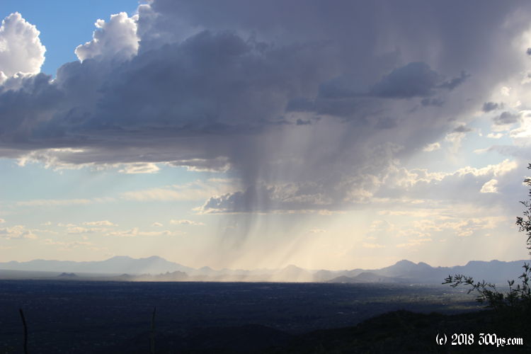
Tucson to Redington Pass: off to get reacquainted with the desert
A free week in Tucson, what better time to take off to the backcountry desert for a litte exploration. I've had my eye on the San Carlos Apache Reservation for a few years now but haven't yet had the opportunity to get up there; now is my chance. continue reading...
Blog post from: Tucson to Boston
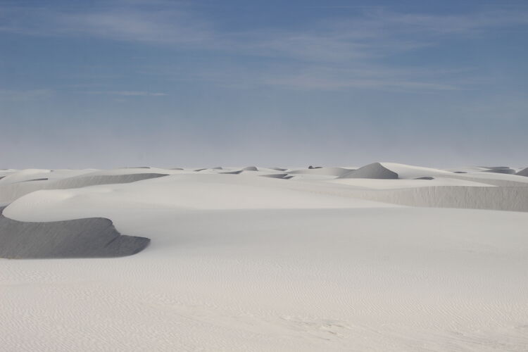
Alkali Flat Trail @ White Sands National Monument:
The signs at the Alkali Flat trailhead loudly blare dire warnings of death by dehydration. Bring a gallon of water. Don't wander off the trail. Make sure your cellphone is fully charged. Don't try this trail if you have no hiking experience. Beware of poisonous animals. Etcetera... it's enough to make you want to find the nearest Starbucks and watch someone's Youtube video of the experience rather than risking life and limb... continue reading...
Blog post from: Sagebrush, Saguaro, and Sweat
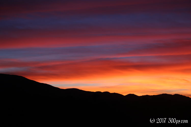
Like yesterday's Ruby Road, this one is good. Scenic, no people, lots of climbing, plenty of animals. Well, almost no people. I get passed a few times by the ubiquitous Border Patrol trucks... continue reading...
Blog post from: Sagebrush, Saguaro, and Sweat
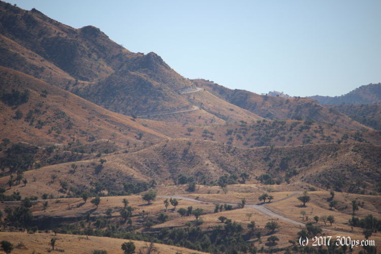
Arivaca Lake to Nogales: Ruby Road
This area is beautiful. Golden grasslands, towering dark mountains, lush washes full of bright yellow cottonwoods, mule deer wandering through it all... continue reading...
Blog post from: Sagebrush, Saguaro, and Sweat
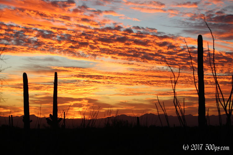
West Silverbell Road to Tucson Mountain Park:
Mercifully both tires are still inflated this morning. I've got a bit of a water problem though. Yesterday's heat and the effort of the ride had me drinking all night. I've only got half a liter to get me into civilization, and I'm not entirely sure how far I'll have to ride... continue reading...
Blog post from: Sagebrush, Saguaro, and Sweat
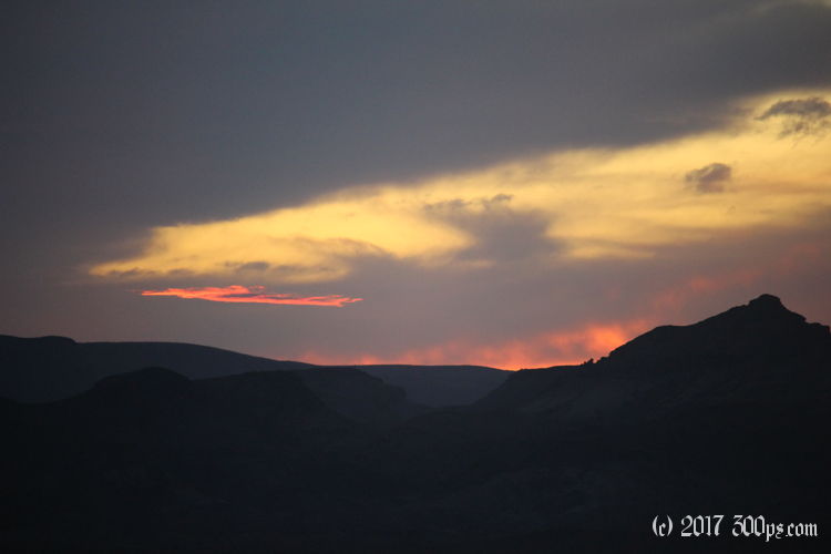
Cycling Alamo Lake Day 1: to Arizona Peace Trail part 2
I can tell from this rocky, sandy, eroded trail that dives down off of the plateau that I'm in for a challenge. I'm not wrong. I can only manage another 4 or 5 miles for the day on this ridiculously rough path. It traverses the valley which is riddled with deep washes full of thick sand. The process is: slide down a 20 percent grade, drag the bike through the sandy wash, lug the bike up the 20 percent grade on the other side... continue reading...
Blog post from: Sagebrush, Saguaro, and Sweat
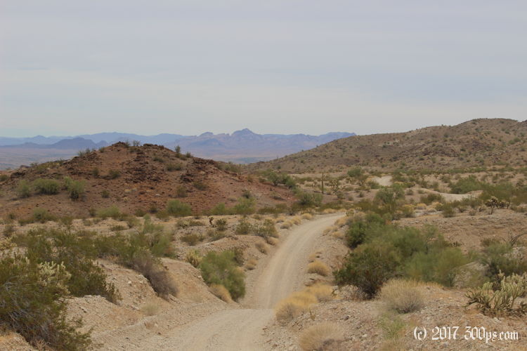
Cycling Alamo Lake Day 1: to Arizona Peace Trail
So the plan for the day is to start making my way towards Alamo Lake. I've pieced together a rough itinerary of paved and unpaved roads, then trails to more unpaved roads using OSMAnd. The morning does hold one pleasant surprise: the first 15 miles of Shea road are paved. I wasn't expecting that... continue reading...
Blog post from: Sagebrush, Saguaro, and Sweat
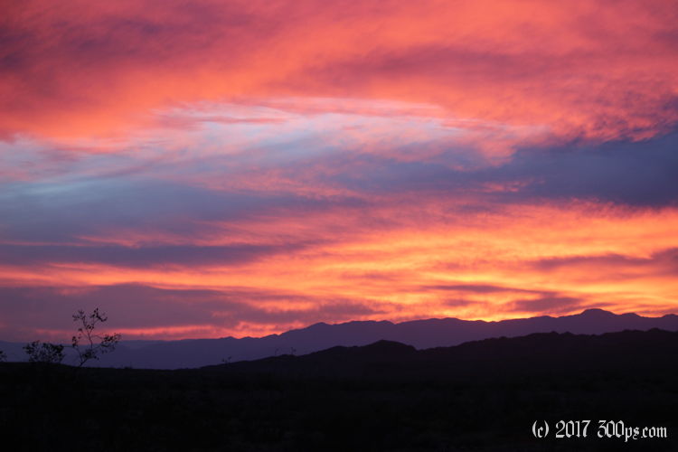
Cycling the Bradshaw Trail: Day 1, Bradshaw Road
I go to bed with 5 liters left for tomorrow. If the trail continues to be this hard I could be in deep shit. At 70 miles end to end, it would take me at least three days of this snail's pace to get back to civilization... continue reading...
Blog post from: Sagebrush, Saguaro, and Sweat
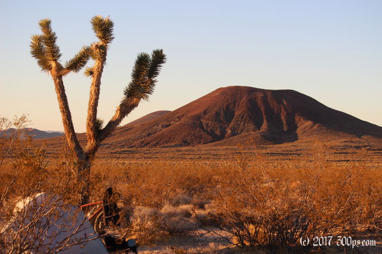
Cycling Mojave National Preserve: Rock Springs to Aiken Mine Road
I spend the first long downhill section trying to guess, from the appearance of the sand, which type of surface will hold the weight of the bicycle. Periodically I guess wrong... continue reading...
Blog post from: Sagebrush, Saguaro, and Sweat
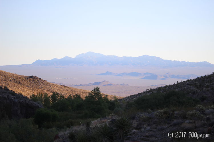
Cycling Mojave National Preserve: Fort Piute to Rock Springs 1
I can see that I am facing a major struggle to get over the Piute Range into the next valley. It's only 2.5 miles but it takes me almost 2 hours of painfully lugging the bike up the trail over the mountain. A couple of times I have to unload the bike, carry the gear over an obstacle, go back for the bike... continue reading...
Blog post from: Sagebrush, Saguaro, and Sweat
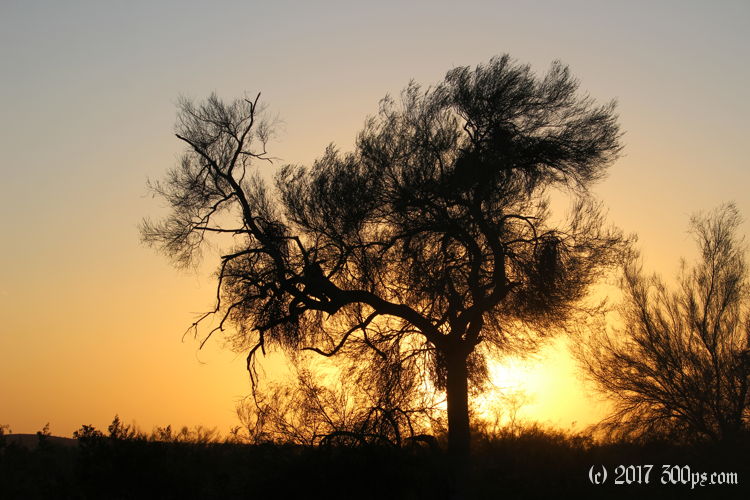
Wenden to La Posa Road: a massive breakfast followed by trucks and wind
I am trying to think of something to say that will help her, get her off of this path that is not going to end well... continue reading...
Blog post from: Sagebrush, Saguaro, and Sweat
Alamo Road to Alamo Lake: can't get across
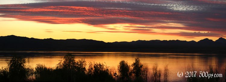
The lake, by the way, is an amazing explosion of life in the middle of the desert: there are ducks, geese, herons, cormorants, etc... plus jumping fish and even a few wild burros. It feels surreal arriving at such a place after the hot, sandy, barren stretch I just rode through... continue reading...
Blog post from: Chickenwhat?
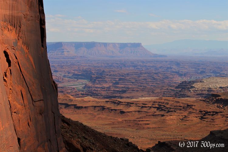
Standing on the edge of this sheer cliff overlooking the river it seems impossible that a trail could lead me down there, but it does, by means of traversing a few shelves in the mesa, then a long, snaking path heading south across the face of the rock until it reaches an amphitheater that has enough of a slope for a switchbacking path downwards... continue reading...
Blog post from: Chickenwhat?
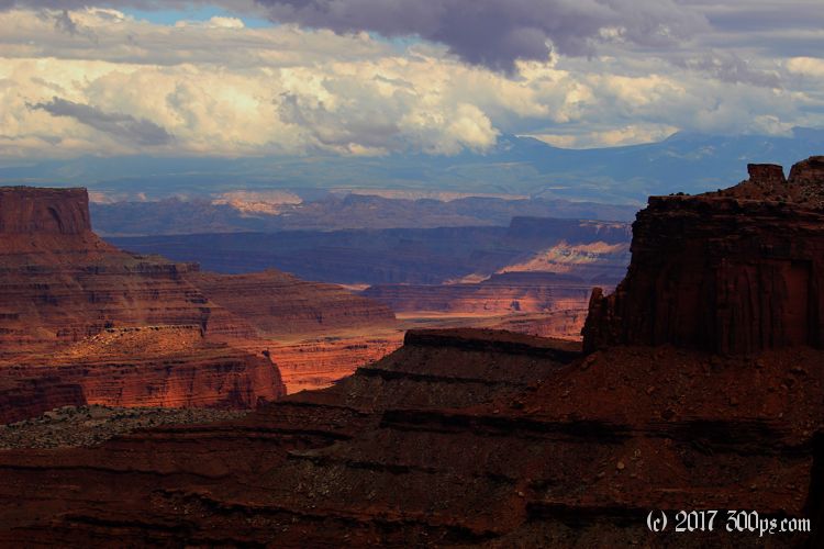
I'm going counter-clockwise, the first 3 or so miles are a descent down washes and then a canyon, the beginning of which is marked by spectacular rock pillars of roughly the same height on both sides, like goalposts... continue reading...
Blog post from: Chickenwhat?
Dinosaur National Monument: Jones Hole
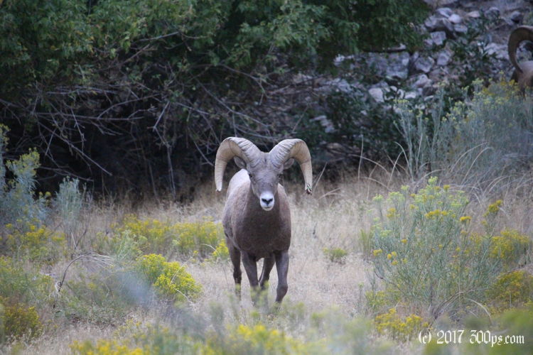
They are drawings on the cliff wall made by an ancient indigenous group. I saw a few of these over in Capitol Reef when I travelled through the area by bicycle in 2014; they've got that same blocky, almost humorous style of say a young teenager doodling during math class... continue reading...
Blog post from: Chickenwhat?
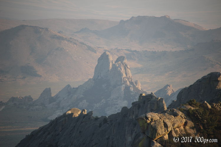
City of Rocks: hike around the park
When I get to the top I think to myself that climbing up these things alone and without equipment is not such a good idea. I'm reminded of that guy who got his arm wedged between rocks and ended up having to cut his own arm off... continue reading...
Blog post from: Chickenwhat?
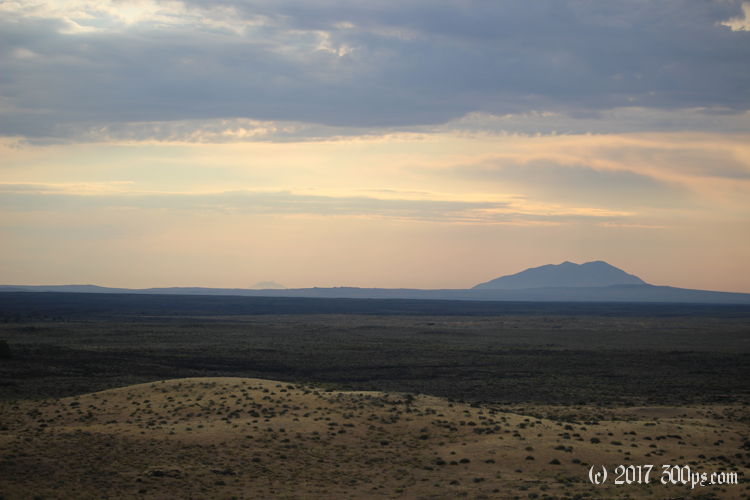
Craters of the Moon: Back country day 2
I don't want to leave this quiet, beautiful place but the lack of water leaves me no choice. It occurs to me that it wouldn't take much to die in a place like this: a slip that sprains an ankle or breaks something and the dehydration would do you in quickly... continue reading...
Blog post from: Chickenwhat?
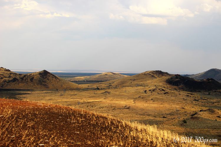
Craters of the Moon: Back country day 1
I try to gauge what it is: four feet, fairly heavy, I'm guessing a coyote. I wish the ranger hadn't told me about the cougar. I reassure myself with the perhaps faulty logic that a cougar would be too stealthy to be heard... continue reading...
Blog post from: Chickenwhat?
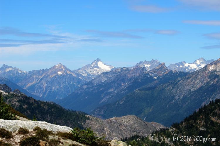
Cascades National Park - Sourdough Mountain: of deer, switchbacks, and those paved curves.
The Park Service description says this trail 'switchbacks relentlessly and steeply'. I don't disagree with their assessment... continue reading...
Blog post from: Chickenwhat?
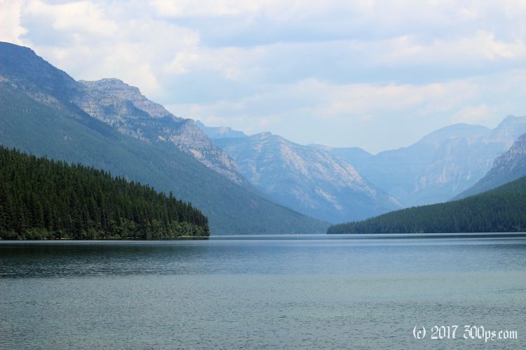
Glacier National Park: hiking Numa Ridge
They logged one strike that turned into a fire 18 days later... the forest duff had ignited, then crept along smoldering until it hit a dead tree then pouff: forest fire... continue reading...
Blog post from: Chickenwhat?
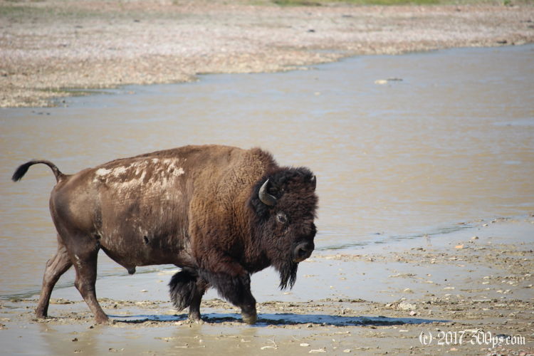
Roosevelt National Park: Aschenbach trail
Yes they told me not to hike the Aschenbach Trail (sounds like fun, let's go!). continue reading...
Blog post from: Chickenwhat?
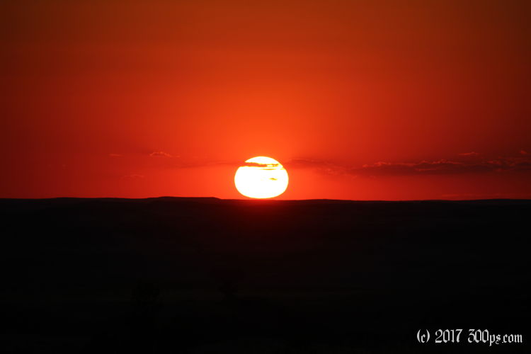
Roosevelt National Park: hiking Sperati Point in search of a sunset
At dusk it's like a deer slalom course up here. I'm relieved to roll back into my campsite. The headlight problem can wait until tomorrow... continue reading...
Blog post from: Chickenwhat?
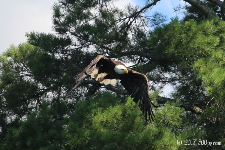
Voyageurs National Park: return canoe trip
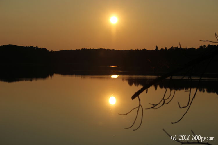
The lake water is a deep black this morning, perfectly still with thousands of suspended particles floating below the surface that make it look like a starry sky. I dig my paddle into this black syrup... continue reading...
Blog post from: Chickenwhat?
Voyageurs National Park: 24 hours with no human contact, hiking in the Kabetogama Peninsula
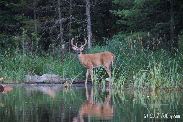
Hiking from Agnes Lake to Cruiser Lake, Elk Lake on the Kabetogama Peninsual. Not a human soul out here other than myself. continue reading...
Blog post from: Chickenwhat?
Voyageurs National Park: canoing to backcountry campsite
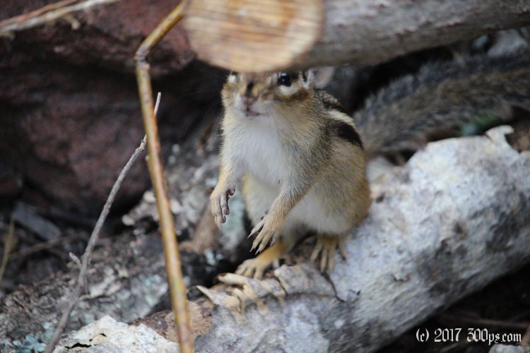
I'm thinking: what's the big deal? Maybe I'm biting off more than I can chew but 10 miles doesn't seem like all that much in a canoe... continue reading...
Blog post from: Chickenwhat?
Eagle Mountain: hiking to the (not very) highest elevation of Minnesota
A glimpse of a magnificent moose, a hike up Eagle Mountain, and a fruitless search to find the moose again. continue reading...

About 300ps.com
I have been traveling for a long time, by plane, bus, train, you name it... but mostly by motorcycle until I discovered cycling. As a kid I could stare at an atlas for hours just wondering what it would be like to travel through all those places represented on the maps. I’m not really much of a tourist; people will frequently say to me: “You went to X and didn’t see Y? How could you go to X and not see Y???”
I don't really have a good answer to that question. I guess I just want to go to see what it's like; and to learn whatever language it is that people are speaking there. In any event after years of travel I have accumulated a lot of memories, a couple of exotic diseases, and a collection of motorcycle and bicycle touring blogs that were stored on different sites, in different formats. I decided to reunite them all in one place: 300ps.com. What is 300ps? It's the German abreviation for Pferdestärke, or horsepower in English, as in "300hp". The moniker was given to me by a strange doctor in Berlin who cured me of an illness (read the full story).