


| Distance | 140.00 kms | 86.99 miles |
|---|---|---|
| Climbed | 2,953 meters | 9,688 feet |
| Ride time (hours) | 7.25 | - |
| Avg speed | 19.3 kph | - |
| Distance | 307.00 kms | 190.76 miles |
|---|---|---|
| Climbed | 5,910 meters | 19,390 feet |
| Ride time (hours) | 14.60 | - |
Wednesday, August 14th, 2019

First order of business: breakfast. It's a short walk down the street to Denny's where I wolf down my Grand Slam. Another hot one today - no surprise there - but it should be more bearable given that I'm gaining some elevation. I don't get on the road until about 10am. From Globe I will be on route 60/77 all day until I get to Show Low.


I came down this road from the north when I cycled from Boston to San Diego in 2011. I vividly remember the Salt River Canyon and how surprised I was to stumble upon this magnificent ravine. I camped at the bottom and was treated to a beautiful sunset over the red cliffs. This was one of the great advantages of traveling fully loaded: when I was tired or just found a place I like I could just throw up the tent and spend the night. Not so with this ultralight setup; I need to get to Show Low by hook or by crook.


I remembered this road as fairly easy (other than the climb out of the canyon), but of course I was going down hill.
Now I'm realizing that it's a bitch of a climb. I started the day with 3.5 liters but it's all gone not long after the canyon. The only thing on the map is a gas station at the junction of 60 and 73. I end up riding the last 15 miles with no liquids. A parched experience that I can't recommend. At the mini-mart I drown myself with a huge fountain drink and some bottles of Dasani.


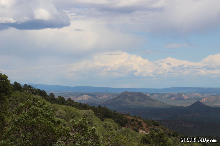
Late in the afternoon any trace of the desert has long since given way to the meadows and Ponderosa pine trees of an alpine ecosystem. The climbing hasn't let up - it looks like I'm having another big day in terms of meters climbed - but it doesn't feel as difficult as yesterday given the lower temperatures of the higher altitudes.


I find a motel in Show Low, drop my stuff, and head to the pharmacy next door. I feel too tired to deal with a restaurant. The pharmacy is having a sale on Stouffer's macaroni and cheese: 3 for 10 dollars. I jump on it; plus I add some trail mix and a box of cheddar goldfish. Back at the motel I microwave the mac & cheese boxes in quick succesion, but I realize I've got no utensil with me. I fashion a sort of scoop out of the goldfish box using my knife. It's not pretty but it's effective in shoveling the food into my mouth. Ahh the glamour of bicycle travel...
I ended the day with almost the exact amout of elevation gain as yesterday, but in about 15 less miles. Before I go to bed one of my legs starts cramping badly. Probably a result of running out of water for that 15 mile stretch... I must be pretty dehydrated. I bought a pack of Rolaids at the pharmacy anticipating that this might happening. I scarf down half the roll which quickly relieves the cramps. I resolve to be more careful with the water situation tomorrow...

