


| Distance | 38.50 kms | 24.23 miles |
|---|---|---|
| Climbed | 587 meters | 1,926 feet |
| Ride time (hours) | 4.75 | - |
| Avg speed | 8 kph | - |
| Distance | 1,240.14 kms | 770.50 miles |
|---|---|---|
| Climbed | 9,651 meters | 31,663 feet |
| Ride time (hours) | 97.20 | - |
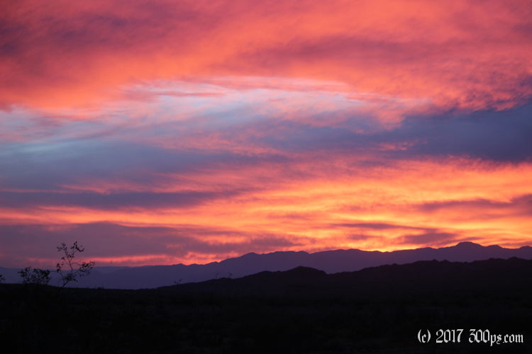
Friday, November 3rd, 2017
Okay, back into the desert. Researching on the internet yesterday I discovered that there is a dirt road starting just across from the state park that goes north of the navy aerial gunnery range then east all the way to the Colorado River. Too tempting to pass up. It looks sketchy though in terms of water. I have some coordinates of a few springs and some places that, at worst, there will probably be people I can scrounge water from. I leave the campground with a light load of water because 10 miles from here the road crosses the Coachella Canal; I'll stop and filter a bunch when I get there.


For a few miles I'm able to ride the nicely-graded levee road along the canal, but when the canal becomes completely fenced off I'm back on a rough, rocky road that more or less parallels the water. I come to a sign for the Bradshaw Trail. Last chance for sure water, I filter 6 liters from the canal, giving me 8 to start the trek. I'm almost immediately worried once I start riding the trail. It is extremely rough, with sand and loose rock to derail me on a regular basis. Riding 100 yards without skidding out or dropping the bike feels like a major victory. The road is climbing almost continuously which doesn't help matters.


5 miles in I come to a railroad tressle. Here the trail is basically just climbing a big wash; big wash means big sand. I discover that I can sometimes keep upright by riding on a "crust" of hard sand on the edge of the trail that has yet to be crushed by a vehicle. I spend hours riding a couple hundred yards, getting bogged down in sand, lugging the bike over to the other side of the road to try again, riding, getting bogged down, repeat ad infinitum...


After 20 miles I'm exhausted. I've reached a fork where Bradshaw Trail leaves this big wash and heads southeast over what looks to be a big plateau. I'm done for the day. I set up camp next to the road and make dinner. The good news is that the lower temperatures mean I'm consuming less water. I go to bed with 5 liters left for tomorrow. If the trail continues to be this hard I could be in deep shit. At 70 miles end to end, it would take me at least three days of this snail's pace to get back to civilization. So far none of the "springs" I read about have had any water in them. I didn't see any people today, but I don't feel alone with the constant companionship of navy and marine fighter planes flying overhead. They look like they're having fun, darting in and out of the moutains. I haven't heard any explosions and the planes I get a close look at don't look armed; maybe it's more of a training area for them rather than a bombing range, at least at the moment.


