| Distance | 135.00 kms | 83.89 miles |
|---|
| Distance | 4,058.86 kms | 2,522.15 miles |
|---|

Monday, June 7th, 2010
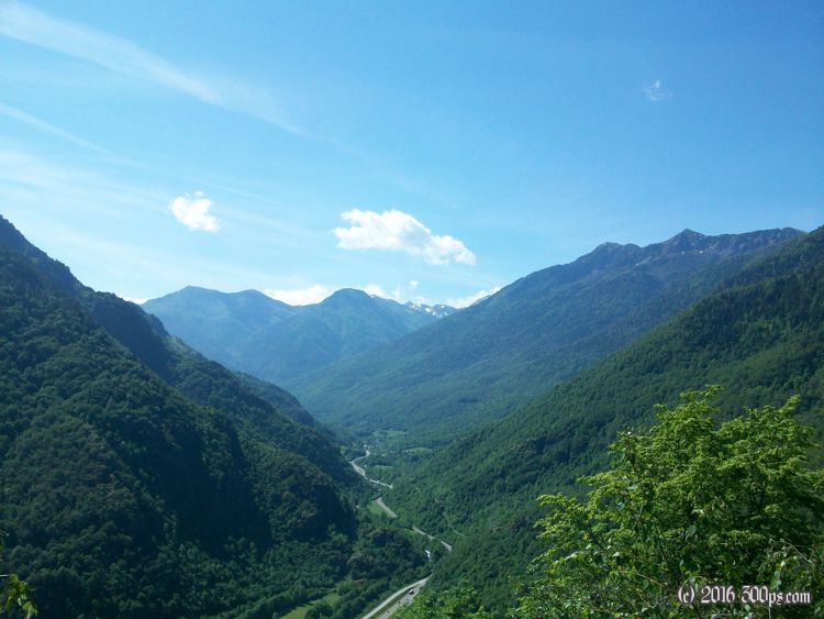
Val d'Aran (Aran Valley) is enclosed by tall mountains on all sides except for where the Garonne River runs into France. I'm feeling good this morning so I decide to climb up over into Bagnères-de-Luchon, France via the Col du Portillon instead of following the river out of the valley. The weather is much more cooperative today, sunny and warm, and the views are amazing. The border between France and Spain is at the top of the climb.

I pick up the "piste cyclable de la Garonne" (Garonne River bicycle path) in the afternoon, it's pretty easy going after that. Late in the day I get a campsite for 11.50 in Montréjeux. A number of strange people wandering around the campground, including a wierd German guy who tries to provoke me, but I'm too tired to really care. I cook up a storm with supplies I picked up earlier, then I retire for a solid night's sleep.