


| Distance | 45.20 kms | 27.96 miles |
|---|---|---|
| Climbed | 803 meters | 2,635 feet |
| Ride time (hours) | 5.45 | - |
| Avg speed | 8.4 kph | - |
| Distance | 1,552.59 kms | 964.99 miles |
|---|---|---|
| Climbed | 11,699 meters | 38,383 feet |
| Ride time (hours) | 122.32 | - |
Wednesday, November 8th, 2017
I'm up before dawn, packing and preparing for what surely will be a tough day of sledding. The sun rising over the mountains to the east makes for a beautiful backdrop to my salami and cheese-tortilla breakfast. I took one of those motel coffee pouches from the place I stayed at in Blythe, I cook it up this morning so that I can fully savor the unfolding sunrise with something warm to fight off the chill.


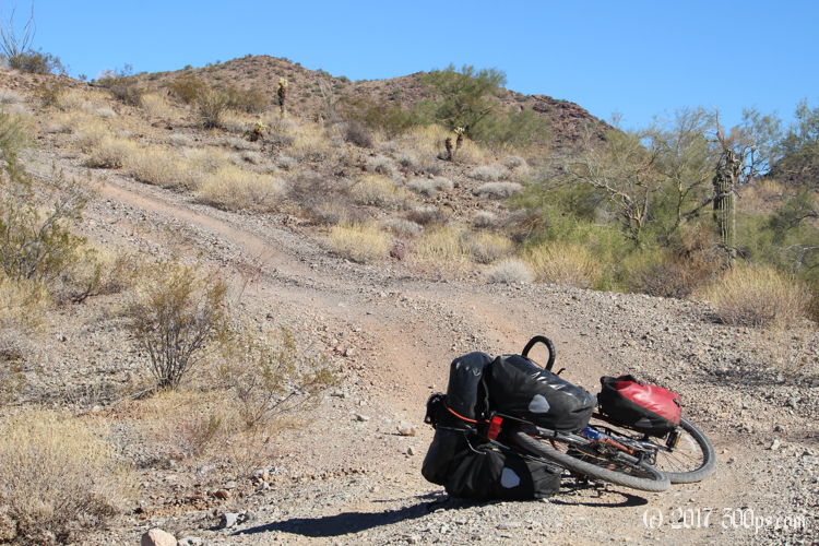
It doesn't take long to warm up. I ride the first 15 minutes with my fleece on before it gets relegated to the cargo net on top of my rack bag for the rest of the day. The trail picks right up where it left of yesterday with its roller coaster of pain. The first hour I'm angrily attacking it, trying to power my way through the sand and up the hills. I stop and have a talk with myself. With a full frontal assault I'm just going to burn myself out quickly, I start taking the washes one at a time, as a set: downhill, cross the sand, uphill. I tackle one set at a time. The zen approach is much more effective, and I start enjoying the effort. I know I can do this. I've been through worse. I'm kind of relieved that no one is out here to witness this craziness that I'm engaged in.


On the steep grades I'm moving so slowly that any stop to my momentum -- hitting a rock that sends the wheel in another direction, sand that makes the back wheel spin, a bump that I can't wrench the front wheel over -- makes me get off and walk. It's too steep to get moving uphill again once I'm stopped.


I miss a turnoff towards the north that OSMand wanted to send me on. I'm not sure how I missed it, or even if it was really there, because I was paying attention. The map data for this area is kind of sketchy. For example it shows a break in the road coming up, to me from a distance it looks like it marks the break right at a pass through two mountains, but when I get there the road continues through with no pause. Then it wants me to veer to the north where there is definitely no road at all. I put the tablet away, I'll be navigating by direction and what I see in front of me for the rest of the day. It works out, I arrive at county road 15 around 12:30pm. It has taken me 4.5 hours to negotiate the 12 miles from where I camped to this spot. That took some serious effort. Now in front of me I've got a well-maintained, recently-graded dirt road that should take me the remaining 20 miles to Alamo Lake.


Continued on next page...

