


| Distance | 79.52 kms | 49.71 miles |
|---|---|---|
| Climbed | 1,555 meters | 5,102 feet |
| Ride time (hours) | 5.73 | - |
| Avg speed | 13.8 kph | - |
| Avg climb | 4% | - |
| Max grade | 9% | - |
| Distance | 18,803.53 kms | 11,684.26 miles |
|---|---|---|
| Climbed | 216,001 meters | 708,665 feet |
| Ride time (hours) | 1,404.35 | - |
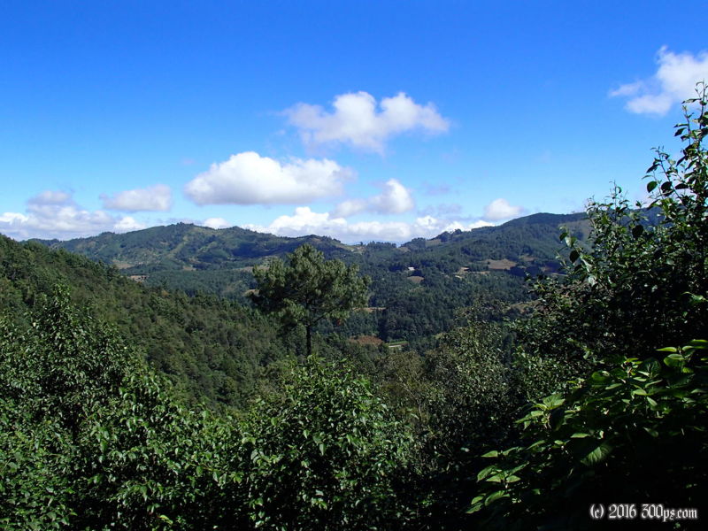
Monday, November 18th, 2013
Up, down, up, down, up. That was today. There are some stretches on this road that showed good stealth camping possibilities, a rare thing in Central America, so I resolved to camp today. It started raining pretty hard as I went through Nahualá but I continued on up the climb until I found a good spot to camp up on an embankment above the road. The rain stopped as I was setting up enabling me to make a relatively dry dinner. I bought some kerosene in Antigua, it burns like shite in the stove, lots of yellow flame. The campsite was at 2,600 meters so it was chilly for a change. I had to break out the sleeping bag for the first time since Manizales, Colombia... that feels like years ago. I've had nothing but hot and sticky weather since then.


