


| Distance | 86.57 kms | 54.06 miles |
|---|---|---|
| Climbed | 1,194 meters | 3,917 feet |
| Ride time (hours) | 6.79 | - |
| Avg speed | 7.9 kph | - |
| Avg climb | 3% | - |
| Max grade | 14% | - |
| Distance | 25,690.19 kms | 15,963.02 miles |
|---|---|---|
| Climbed | 270,135 meters | 886,270 feet |
| Ride time (hours) | 1,817.25 | - |
Saturday, April 12th, 2014

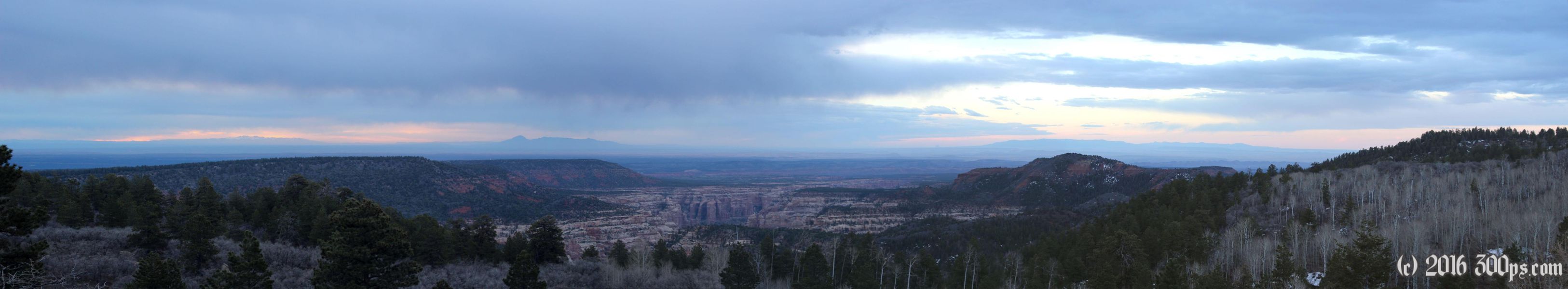
I'm up before dawn due to the cold. It wasn't too chilly when I went to bed so I didn't layer up, the price is an early rise. The upside is a beautiful sunrise over the mountains and canyon to the east. After a breakfast of more of last night's dinner I pack up and get back on the dirt road heading down Elk Ridge.
Lots of animals this morning, first some elk then a whole bunch of mule deer that I fail to capture with the camera because I left the setting on portrait. They are the first deer I have seen on the entire trip, some 16,000 miles through South and Central America, and it's not like I was on the highway the whole time. A sad commentary on the state of wildlife down south.


I take a detour down Milk Ranch Point road to get a glimpse of another canyon. There are some great places to camp down here as well. There are some tempting side roads leading off to the east but the posted forest service road numbers don't match the numbers on the BLM map I took a photo of back in Natural Bridges. I would like to try them but I only have enough food for lunch and hardly any water, I opt for the safe choice and climb back up to the Elk Ridge road.


I cross a section of land that is posted as Ute Indian territory. It only covers a small valley with a stream, they have signs posted saying no this, no that, no etc... The stream is a welcome arrival. I stop to dump out what is left of my charcoal water then filter a few bottles worth, enough to last me to Blanding. As I get closer to the park boundary I start seeing pickup trucks and a few ATVs. A couple of them are really not cool with the dirt clouds, they go flying by me burying me in dust. What is particularly annoying is that a number of the pickups have bicycles strapped to the back, you would think that as cyclists they would be more courteous. After one particularly bad dust cloud I can't see a thing and end up falling when I hit a rock. Not nice.
The road goes back to pavement a few miles before the exit, then I'm back on a main road heading into Blanding. There is some steep climbing in the wind but it doesn't feel all that difficult because of the good pavement. I arrive in Blanding, go food shopping and make a stop at the visitor center to ask about the forecast. There are some flurries and it's pretty cold but the woman at the center says it won't rain or snow here but probably will on the other side of the mountain. She turns out to be right. I chat for a while with an Irish woman who came looking for maps. She's impressed that I'm camping in these temperatures. I ride 7 or 8 miles (mostly climbing into strong headwinds) north to Devil's Canyon where there is a forest service campground.


I pick a spot (10 dollars, outhouses and water but nothing else) then hike down to Devil's Canyon to have a look. Not much to see. I have a big fire in the pit that has a grill for cooking. Early night in the tent.


