


| Distance | 39.95 kms | 24.85 miles |
|---|---|---|
| Climbed | 1,300 meters | 4,265 feet |
| Ride time (hours) | 5.63 | - |
| Avg speed | 7 kph | - |
| Avg climb | 7% | - |
| Max grade | 22% | - |
| Distance | 9,533.00 kms | 5,923.53 miles |
|---|---|---|
| Climbed | 93,822 meters | 307,815 feet |
| Ride time (hours) | 736.04 | - |
Friday, April 19th, 2013
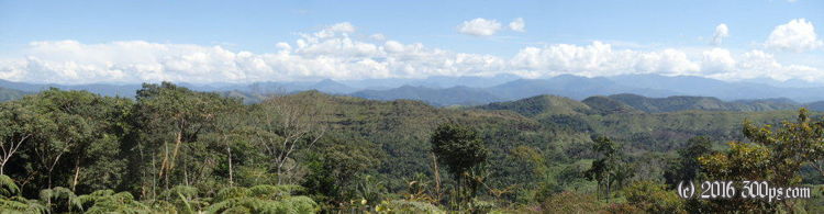
After a breakfast of eggs, rice, yucca, and tomato I was on out the door looking for the road to Mapiri. I had to ask 4 people before I finally found it. The road started with 585 meters vertical over 8.25 kilometers on loose gravel, rock, and sand. There were grades over 20%; this road has to be one of the toughest I´ve ever been on. The heat and humidity were just icing on the cake... I felt great when I got to the top although this was just the beginning, the rest of the day consisted of hand-numbing descents followed by lung-popping climbs.


I went through a few small villages where people came out to stare like I was from Mars and yell out the occasional "gringo". I gave it right back to them. There were a few forks in the road where I just followed the track that looked like it was being used more than the other. Like yesterday the only time I was really worried about having made a wrong turn a guy stopped in a truck to talk and let me know that I was headed in the right direction. Later in the day I stopped at the first village I had seen in 20 kilometers to buy a drink and ended up chatting with the store owner for a while. He was concerned about my impression of Bolivia, he seemed to be proud of his country and wanted me to have a good experience. I didn't have the heart to tell him people were mostly treating me like shit. After descending from the pueblo I came to a river that had some flat fields around it. Since I hadn´t seen a decent place to camp all day I figured I had better take this opportunity to camp even though there were still two hours of daylight left. At any rate I was dead tired and didn´t want to face the next climb up away from the river.


While I was looking for a site I was attacked by insects. I had gotten used to high-altitude bug-free living... I threw up the mosquito net to get some relief. After dusk the bugs calmed down so I could cook. I hadn´t cooked in a few days, when I pulled out my vegetable bag everything had gone bad in the heat. I had forgotten how short-lived vegetables are in the heat, I had gotten used to not worrying about things spoiling being in cooler high-altitude climes for the past month. I will need to stock up in Mapiri (hopefully it is big enough to have
some good supplies).

I only got in 40 kilometers today, I have my work cut out for me if the road continues on like this. It could be 4 days before I get to Sorata. With all this mud, dust, and fording of rivers I´m burning through what´s left of my chain lube. I had bought a bottle of cheap stuff in Salta, Argentina but I left it on the table at the casa de los ciclistas in La Paz.

