


| Distance | 60.00 kms | 37.28 miles |
|---|---|---|
| Climbed | 854 meters | 2,802 feet |
| Ride time (hours) | 4.08 | - |
| Avg speed | 14.6 kph | - |
| Distance | 1,031.54 kms | 641.25 miles |
|---|---|---|
| Climbed | 8,242 meters | 27,041 feet |
| Ride time (hours) | 83.11 | - |
Tuesday, October 31st, 2017
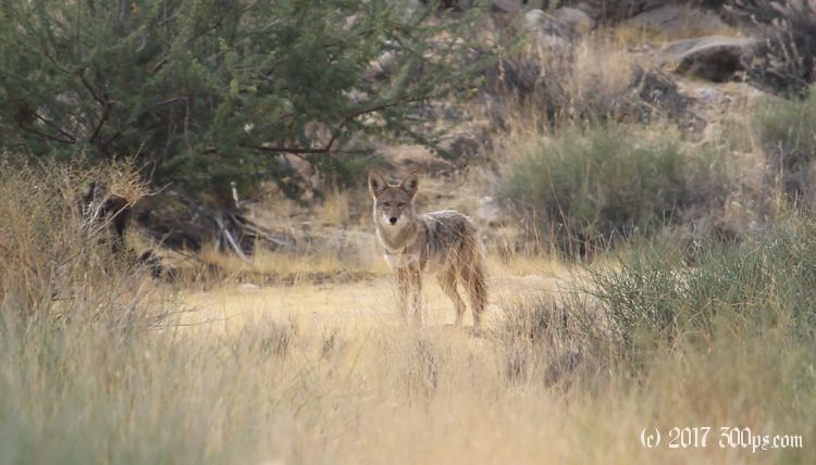
Just 5 miles down the road from my campsite I am thrilled to find a breakfast place. Eggs, bacon, homefries, toast and coffee; I could almost kiss the homely waitress in gratitude. Now I'm heading to Yucca Valley on a full tank. The road has some sharp dips and climbs through washes but I'm still enjoying a supportive wind. Right outside of the city there is a huge downhill into the valley that's home to Yucca, Joshua Tree, and 29 Palms. This is the third time now that I've been through this valley on various desert treks. Even though they are not particularly attractive places I'm always happy to arrive because each time I've just gone through a lot of desert to get here.


First order of business is coffee and internet. At a cafe, like the Maginot line, I've got Germans on one side and French on the other. I've come to expect foreign tourists near national parks, they seem to love them even more than we do. After coffee I head for the supermarket to top off my supplies. I know there will be nothing from here to the Salton Sea, and not much there either in terms of groceries.
One last chore before I head up into the park: find buckle replacements for the broken ones on my front panniers. Each pannier has two buckles for a total of four; only one of them is still working properly. These front bags have a lot of miles on them and they are starting to look pretty ragged. A rock climbing shop supplies the replacements, two of the kind that thread and two with pins so that I don't have to sew anything back on. I just break the old ones, thread the pin through, and tighten with a screwdriver.


I pick up a map at the visitor center. The young ranger says the only water sources in the park are at the entrance gate 5 miles up the road and at Cottonwood Springs, a vistor center on the far end of the park near I10. That means I'll have to load up with 2 days worth at this entrance, and that also means I'm in for a long climb with a lot of weight.


I pass over the first campground I come to. I'm planning on staying at one another 15 miles down the road, but when Ryan Campground presents itself I'm too tired to pass it up. On my way around the ring road checking out the campsites I meet Steve and Maureen, a couple from the California coast who are also bicycle tourers (not at the moment, they are traveling for a few days in a camper van). I get a spot next to them and set up. In the evening we hang out and swap bicycle travel stories. They've got wood for a fire which feels great on this chilly evening. When the sun goes down I'm already in jeans and fleece, I guess we're up somewhere north of 4,000 feet. Nice to have company tonight.


