


| Distance | 88.42 kms | 54.68 miles |
|---|---|---|
| Climbed | 1,478 meters | 4,849 feet |
| Ride time (hours) | 8.11 | - |
| Avg speed | 10.8 kph | - |
| Avg climb | 4% | - |
| Max grade | 10% | - |
| Distance | 8,771.23 kms | 5,450.04 miles |
|---|---|---|
| Climbed | 87,080 meters | 285,696 feet |
| Ride time (hours) | 672.84 | - |
Monday, April 1st, 2013
I left early, around 8am, has to be a record for me getting out of a city. There was a parade on the main square probably related to the Easter festivities. There were no signs about how to get out of town towards Oruro so I just went in the general northeast direction and felt my way out of the city. The first 10 kilometers were a descent into a river canyon that then started climbing again back up into the mountains.
I was still feeling a bit sick. After Yacolla there was a huge climb that seemed to go on forever. A few little villages here and there with women on the side of the road, some of them called out to me to ask where I was going. Bolivia seems to have a never-ending supply of old women selling things by the side of the road or walking along going about tasks only they are aware of.
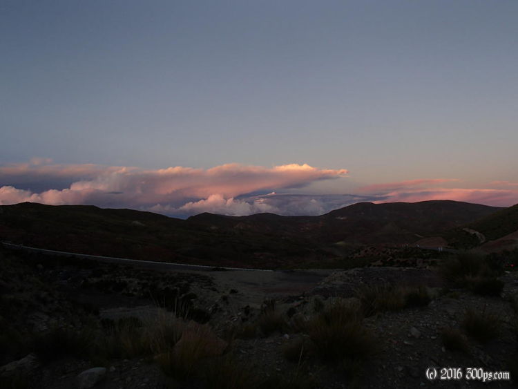
I just kept climbing until it got close to dark then I started looking for a place to camp. In spite of the remoteness of the area it was difficult to find a spot that wasn´t exposed to the road given the lack of vegetation. I finally found a spot on a switchback that had a big stone and gravel berm hiding a flat spot from the road. I made dinner with some of the chiles I picked up in the market in Potosí... hot and tasty. I hope to feel better tomorrow...


