


| Distance | 100.45 kms | 62.14 miles |
|---|---|---|
| Climbed | 1,108 meters | 3,635 feet |
| Ride time (hours) | 6.17 | - |
| Avg speed | 16.28 kph | - |
| Distance | 538.70 kms | 334.92 miles |
|---|---|---|
| Climbed | 3,614 meters | 11,857 feet |
| Ride time (hours) | 33.15 | - |
Wednesday, March 15th, 2017
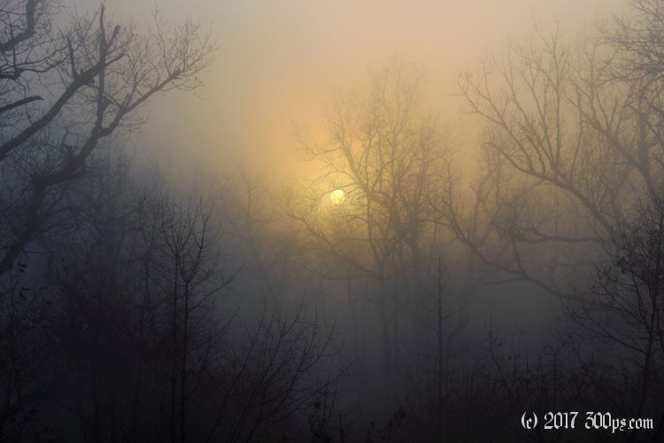
Everything is soaking wet this morning from a thick fog that will keep the sun at bay until noon. I just cram the tent under the cargo net on the back of the bike, it's too wet to bother packing into the stuffsack. Thankfully no sign of my friend the sanglier as I make my way back to the road.

Except for an apple, I'm out of food. I descend through the cold mist to the village of Cazals hoping there will be a bakery. No luck, just a Christ on a cross in the empty village square. I take a bridge to the other side of the river then start following the road back to the northeast. Breakfast proves elusive. A few hameaux (tiny villages), but no stores or bakeries. The road climbs up the cliffs, still enveloped in fog, I can barely make out the river below. I imagine this is a very pretty route along the gorges when the sun is shining.


I'm in a state of cranky starvation. Finally I run into a Carrefour Contact that's open outside of Saint-Antonin-Noble-Val. I stock up on a six-pack of chocolate croissants, bananas, chocolate, a baguette, and saucisson for lunch. I wolf down three of the croissants and a couple of the bananas on a park bench next to the river. Next order of business: coffee on a square inside the labyrinth of narrow cobblestone streets that is Saint Antonin. My mood rises with my blood sugar and caffeine levels. I whistle my way out of town; the fog is still hanging around but the temperatures are rising enough for me to take off the heavy gloves.


A ways down the road I come to a fork in the river: the Aveyron heads northeast, La Garenne heads southeast. I follow the Garenne for no particular reason. I leave it in turn when I see a city perched on a steep hill surrounded by bright green fields. The image is quite stunning, I'm drawn to check it out. A bit of work to get up there though, grades above 10 percent for sections of the paved road, then cobblestone streets with lung-popping 20 percenters. I'm panting and sweating when I finally get up to the top of the medieval city. Cordes-sur-Ciel is the name of the town, ciel means sky, so literally "Cordes in the sky". The view from atop the city and the historic buildings make for quite the pittoresque setting. I would imagine that this place is a big tourist draw in season. In the event, on a Wednesday midday on the Ides of March, I have the place mostly to myself.


The city of Carmaux is decidedly less interesting than Cordes, but I have to make a stop there to stock up on supplies for dinner. I've managed to kill off that six-pack of chocolate croissants that I bought this morning. Good thing I'm burning 4,000 calories a day on the bike. At least this city has a decent bakery where I pick up a tasty but expensive bio baguette, but I'm not going to put Carmaux on my list of places to re-visit.


Late in the afternoon the valleys and hills are getting steeper. I stand at the top of one particularly deep valley, not relishing the thought of having to climb back out. This may be it for me today; I'm keeping my eye out for a campsite.


Near the top of the climb out of this hole I run out of motivation. There are logging roads cut into the sides of the steep hill but they aren't particularly flat. I decide to make do with it, I've got no energy left, even if it means spending the night sliding up against once side of the tent. I set up and make dinner.

The sangliers are back to haunt me again. Around 9pm, almost asleep, I'm jolted back to awareness by that blood-curdling wild boar scream. He has to be quite close, my tent is probably blocking his normal path to wherever it is that wild boars wander off to in the night. I make a mental note to try and avoid setting up camp on a path in these parts, they seem to do night duty as boar highways. I'm not quite as startled as last night -- as witnessed by my relatively stable heart beat this time -- my growing experience with these animals tells me there's no reason to be particularly worried.
My altimeter and Strava are almost in agreement on the climbing tonight, 1,190 meters according to the app.

